Wingtra

Developer: Wingtra AG
Website: https://wingtra.com/
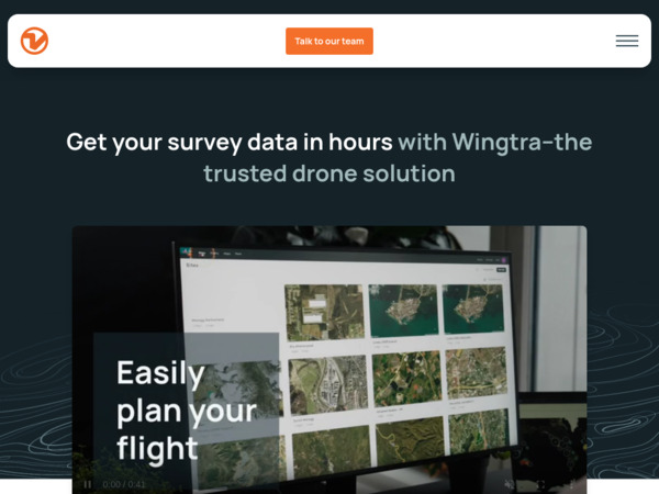
Wingtra makes high-precision VTOL (vertical take-off and landing) mapping drones, notably the WingtraOne (also the GEN II version). These are used to capture aerial photogrammetry, orthophotos, point clouds, and LIDAR data over large or hard-to-access areas.
How Architects Use It
- Site analysis & topography: Capture existing ground conditions, terrain slopes, contours, natural features. Helps in early planning, site feasibility, siting of buildings.
- Large area mapping: For large sites (especially if remote, irregular, or difficult to access), Wingtra drones cover more area per flight than many hand or ground-based surveys.
- 3D context & visualization: Create orthomosaics, 3D models from aerial imagery or point clouds, which can be used to overlay designs, assess view corridors, shadowing, landscape relations.
- Construction monitoring & progress tracking: Use regular flights to monitor how a site is changing over time, earthworks, building progress, infrastructure. Comparisons with plans and models help identify deviations.
- Accurate deliverables & data for consultants: Geospatial data gathered (with PPK / GNSS / photogrammetry or LIDAR) can feed into civil, structural, landscape, or environmental drawings, planning submissions, terrain modelling.
Strengths
- High coverage with good accuracy: Wingtra’s drones, especially the GEN II and with PPK (Post-Processed Kinematic GNSS), deliver precise data (centimeter-level) over large areas.
- VTOL capability: can take off/land vertically, which means less need for large clear runways; useful in constrained or rough terrain.
- Multiple payload options (cameras, photogrammetry, LIDAR) allow flexibility depending on what kind of data you need.
- Robust software & flight planning tools: pre-flight planning, mission control, ability to handle sustained winds, safety features.
- Efficiency: fewer re-flights because of reliable accuracy, good overlap or sensor options; time saved in field surveys, less manual ground work.
Things to Watch
- Cost & setup: High-end drone hardware, licensing-grade sensors, LIDAR payloads, training, regulatory compliance, all of this adds up. Not just hardware, but personnel, permits, software for processing.
- Regulatory / airspace constraints: Drone flights often require permissions, may be restricted in urban zones or near infrastructure. You need to check local drone laws, privacy regulations.
- Data processing load: Collecting many high-resolution images, photogrammetry or LIDAR point clouds creates large datasets; processing requires good software, computational power, and proper workflows.
- Weather & environmental factors: Wind, light quality, vegetation cover, slope, terrain irregularities affect flight stability, image quality, point cloud density.
- Learning curve: Proper mission planning (flight paths, overlap, GPS calibration, ground control / PPK usage), post-processing, ensuring coordinate systems match downstream CAD/GIS models can require experience.
Why It Matters for Architects
Wingtra changes what architects can do in site-exploration, analysis, and collaboration. Having accurate aerial or LIDAR data early lets you:
- Understand site constraints more fully (topography, vegetation, boundaries) before design commitments.
- Visualize context, views from above, drainage, shadow, solar orientation, with higher fidelity.
- Make informed decisions about massing, orientation, cut-fill, earthworks, structural siting, environmental impact.
- Reduce risk of surprises during construction or permitting by knowing existing conditions well.
- Communicate with clients and consultants using compelling visual data and models, which elevates trust and clarity.